

Showing posts with label cirrocumulus. Show all posts
Showing posts with label cirrocumulus. Show all posts
Tuesday, 17 January 2017


Wednesday, 24 August 2016
Cold clouds on a hot day

Altocumulus (lower left) and cirrocumulus (all the rest) on another hot day, 31° in the shade. Poor grocery delivery driver said it was 33° in his cab - no air conditioning.
Can't get my head around the fact that it's so hot down here, and heat rises, yet those cirrocumulus clouds will be at least 20,000 feet up, formed from ice crystals or super-cooled water.
Friday, 27 December 2013
Storms? What storms?

Anyhow, this was the view from my window this afternoon, just before a sheet of stratocumulus hid the blue sky. Deceptively calm and peaceful. It won't last.
PS: Forgot my camera the other day. Being driven through the next village, soon after a hail shower, saw storm clouds in the south, with torrential sheets of rain. To the west, clear blue sky. It all changes so quickly.
Saturday, 13 November 2010


Wednesday, 28 July 2010
Mostly overcast
 A short break in the cloud this afternoon, so you could see a layer of cirrocumulus (the stippled effect) through a gap in the lower cumulus clouds.
Monday, 31 August 2009
Sunny Bank Holiday
 Not many clouds today - they were almost all gone by the afternoon - but a few patches of cirrocumulus lacunosus earlier.
Friday, 14 November 2008

Friday, 27 June 2008

Wednesday, 14 May 2008
Cirrus again

 I haven't posted much lately - had days of cirrostratus before the weather turned colder and we just had stratus, which isn't very photogenic.
I thought that the cloud in the second picture looked like spilt milk.
Monday, 5 May 2008

Thursday, 28 February 2008
High clouds
 The day began with mainly cirrus and some cirrocumulus. Later the sky filled with stratocumulus.
In the first picture you can see the small bobbley lines of cirrocumulus stratiformus undulatus, above few wisps of cumulus. In the second picture, taken at about the same time but in the opposite direction, are delicate strands of cirrus that were changing fast due to high altitude wind.

Friday, 22 February 2008


Saturday, 26 January 2008

Sunday, 13 January 2008

Saturday, 5 January 2008
Bright new day
 After two days of unrelieved greyness, Saturday began with gold and blue, and patches of cirrus and cirrocumulus.
Monday, 24 December 2007
Layers
 It may not be clear from this photo but there are two layers of cloud here - the higher cloud is brighter and in smaller fragments, the lower is darker and softer in appearance - and it's moving faster.
Friday, 21 December 2007
Icy sky
 Late afternoon, cirrocumulus - high clouds of ice. Some of these streaks are probably the remains of contrails, spread out.
Friday, 30 November 2007
Friday's sky
 At about noon the sky overhead was mostly cirrostratus and cirrus, with a few wisps of cumulus scudding by, but a bank of cumulus was building up to the south-west, and heading easterly.
 The panorama is made from several photos stitched together with Autostitch. Click on the image to see a large version.
By two-ish, the sky was mostly stratocumulus.
Monday, 12 November 2007
Cold sky
 It was chilly at ground level, but between 16,500 and 45,000 feet it was even chillier. In the morning a few isolated patches of cirrus floated about, but this is a larger area formed of two types of cirrus: at the top of the picture, streaky cirrostratus, a milky veil at about 30,000 feet; at the bottom of the picture, the bobbly appearance of cirrocumulus, which is higher.
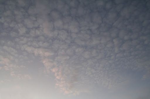 At sunset, there was a layer of altocumulus overhead, larger bobbles than the cirrocumulus, at a lower altitude.
Lower still, a few cumulus caught the colours of the sunset as they faded away.
Subscribe to:
Posts (Atom)